
I drove for a few hours, until lack of coffee and gasoline led me to find the cheapest gas in the Eureka/Arcata area. Upon putting my visa card in the pump the machine returned a "Card Not Recognized" error, and I realized it was a gas station for truck drivers and other special people, myself not included. No wonder it was $0.20 cheaper. I reluctantly returned to a Chevron station and refilled on cheap coffee and expensive gas.
Since I'd spent a good amount of time in Humboldt/Crescent City/Smith River on past roadtrips, I booked it through the rest of northern CA with only a short stop at the Crescent City jetty/pier. The "Welcome to Oregon" sign came and passed, and I took a short break to hike down to Whalehead Beach.
 |
| Whalehead |
 |
| Coquille River Harbor/mouth. Google turns my pictures into cool panoramas... |

The first leg of the trail meanders through the woods past some small lakes, with glimpses of the coastal dunes. In some locations a river of sand had come pouring down the hill, covering the trail:


The second leg of the hike was along the dunes, which made for much more difficult hiking. Since the dunes are constantly changing, the trail is less obvious. We found our way by connecting some tall wooden stakes placed strategically in some of the higher dunes. These dunes are interesting because they are fronted by a narrow forest - normally the sand dunes are directly along the ocean.


Just when we thought we couldn't take any more sand steps, the trail took a turn into the strip of trees along the beach, and we scurried down to the beach.
 |
| Tahkenitch Creek Lagoon |


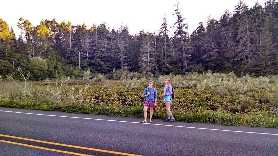
After ~45 minutes of recovering and snacking on the beach, we traced our footsteps to the trail intersection to return along the other side of the loop. A couple miles later we realized we'd taken the wrong fork in the trail, requiring an extra mile of "hiking" along HWY 101 to get back to the cars. The highway took us along Tahkenitch Lake, so while our joints were aching we managed to enjoy the extra leg of the hike. We maintained spirits by blasting country music from cell phones and doing ridiculous dances to extract honks from passing cars. Stephanie found a dead bird on the side of the road.

Upon our late return to the cars we commenced a massive spontaneous picnic of the usual pitas/veggies/hummus/fruit. On the drive home we made a spontaneous decision (conducted through the car windows at a stoplight) to chase the sunset. We arrived at the coast seconds before the sunset:


3 comments:
Ahhh so pretty! I want to go to the dunes!
Kind of get the Oregon dunes now, kind of still a mystery though.
I love how you are hiking and kayaking your way through the US, Nena! Amazing.
Post a Comment