We paddled past Camp Barton (a boy scout camp) and kept going north until we were directly across from Milliken Station (Ithaca’s power plant):
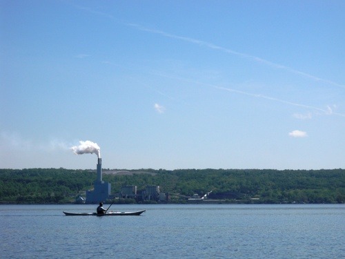
We have also gotten into the habit of making bets for how long it will take us to reach certain points. On this particular day we had a very close race with Ben’s guess of 24 min, 38 sec coming within 38 seconds of the actual time. Rob and I now owe him a beer. But he owes me one for the last time, so I guess that means we’re even.
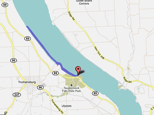
The cliffs on the west side of Cayuga are pretty neat to look at. There are big boulders in the (incredibly clear) water and little waterfalls that trickle down over the rocks from the hills above. Right before getting back to Taughannock we were paddling along and suddenly had a really strange feeling that we were paddling uphill. We think it’s because the water is so clear and the bottom slope of the lake was really steep (getting shallower as we got closer to the beach) — so it was some kind of optical illusion. Weird but cool…
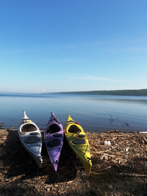
Distance: 10 miles.
No comments:
Post a Comment